After more than a month of being chained to our laptops in order to meet the deadlines of a couple of big writing projects, we managed to squeeze in three walks in the last week. Walks whose sole purpose was leisure – to stretch the muscles, get fresh air into the lungs, show us more of our surroundings and, most importantly of all, take a metaphoric duster to the cobwebs clogging the mind.
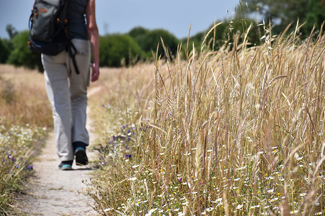
None were particularly challenging, only the heat as the May sun rose higher added any sort of difficulty to the routes… oh, and in one case, soft sandy paths which sapped muscles that had become slovenly. But all were exhilarating. Where some folk head to the beach to re-charge batteries, we find hitting the trail is like having a refreshing mental massage.

As we walked we talked of many things; one being about the skill – whatever you want to call it – of writing walking route directions and the differences between simply walking a route for enjoyment and walking it to record it for others to use. This discussion was prompted by a couple of comments online in relation to a facebook post about walking directions, and bumping into someone who expressed interest in how walking routes were put together. This person was a walker, but had never stopped to think how walking directions were actually created. The latter especially made us ponder how many other people who enjoyed taking to the byways were the same.
For anyone out there with an interest in how the walking directions in their hands came into existence, here’s how we put together routes.

Planning
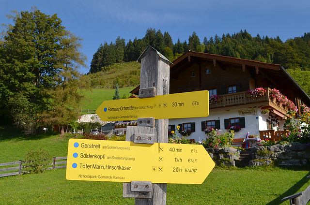
There are various types of walking routes; ones which already exist, and are known in their entirety, (think Samaria Gorge) and ones which don’t (bespoke routes created for a unique purpose). Many of the routes we walk and record fall into the latter. In some destinations there’s a well thought out walking infrastructure in place with hiker-helpful signposts and waymarks at important junctions (Germany/Austria spring to mind), so it’s relatively easy to piece together sections of routes to make a customised one. But there are also many places where the infrastructure is lacking. Many trails we’ve walked in Greece, Portugal and Croatia have had no markings at all. We decide what route we want to get from A to B or from A to A again, and then try to patch paths together; this is the tricky bit.
Tools
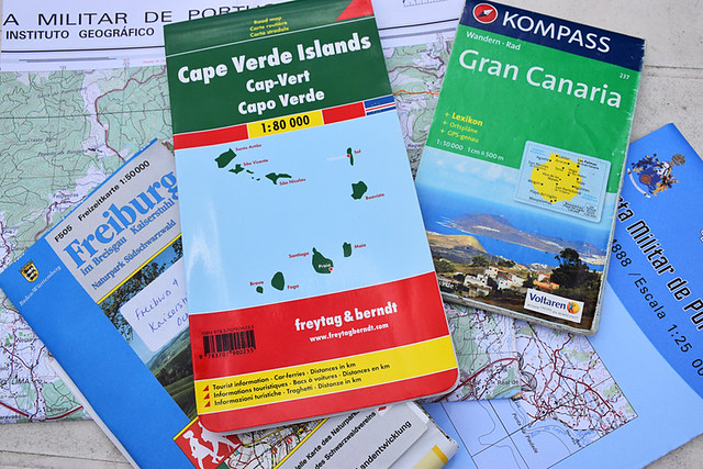
Which is where tools come in. I learned map reading at an early age, but that was to use OS maps to get from one place to another by any means rather than paths. These days, whilst printed maps aren’t quite obsolete, there are numerous excellent online tools available to help map out routes before we step outside the house. These are essential as otherwise we might need days exploring one small area to fit together the jigsaw pieces of just one route. I view printed maps as a safety net rather than an essential tool (too many aren’t detailed enough or are out of date) and use them in conjunction with online maps which give satellite images when planning. I rarely use them when on the trail itself.
The reality of the path
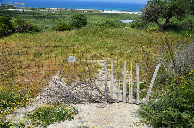
In locations where the walking infrastructure isn’t robust, there are often surprises no matter how much time has been spent theoretically joining the dots of a route before actually walking it. Recently we were stopped in our tracks, not for the first time, by a barbed wire fence and a threatening private notice. Official maps showed it as a walking path, as did a Wikiloc route (we treat Wikiloc routes with caution. Sometimes they’re put together by locals who know where they can and can’t walk and often there can be long sections on busy roads). When this happens there has to be adjustments on the hoof. There are usually alternatives; the best make for a seamless continuation of the route. But occasionally the ‘alternative’ might have anyone following directions wondering why they’ve been detoured. There are always reasons.
Official dabbling
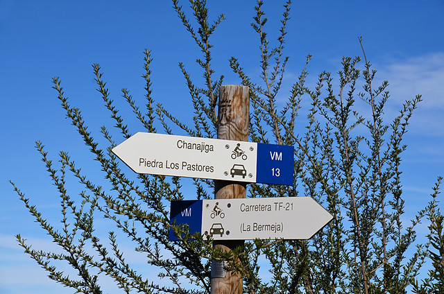
Where public routes being blocked by private individuals make my blood boil, routes being artificially manipulated by officialdom frustrates the hell out of me. Whenever there’s an official walking initiative in a location it can involve new signposts; sometimes placed in different spots than previous ones and occasionally with completely different names. The Canary Islands are guilty of this; not considering at all the potential impact it has on the market it’s trying to develop. It totally screws up walking guidebooks and self-guided walking holidays. Generally speaking, people don’t always notice the signpost in front of them which doesn’t match the information in the directions in their hands is ‘brand new’.

Language
Walking routes for us are about getting to know a destination as much as they are a scenic jaunt in the countryside. Subsequently we include a lot of additional information (historical, ethnographic, flora, quirks) as well as route directions. But there has to be a balance between information which puts meat on the bones of a route and detailed directions which get someone to their destination. The language used is vitally important in order to make directions user-friendly by making sense to a range of people (anyone who has done people management training will know different people have various learning styles).
Timings
On a section of the Camino de Santiago not so long ago, we finished one stretch far too quickly even though we walked slower than our normal pace. We’re not fast walkers, but we weren’t stopping at every junction to record information, or to take photos for our website, travel articles, or brochures. In order to give timings that are in the ball park of most decently fit walkers when it comes to completing routes, a formula is used based on average walking speeds which also takes into account ascents/descents. Some route writers use a variation of a formula designed by an 19th century Scottish mountaineer, William W. Naismith. I’m not a fan; it’s outdated and doesn’t transfer accurately to the wide range of different types of paths which you encounter in various countries.
In essence, detailed walking directions are like the visible tip of an iceberg; the bulk of what has gone into creating them remains well out of sight.


Be the first to comment