When we create hiking routes one of the things we consider is grading – the level of difficulty. How we decide this is based on various factors; the main ones relating to how challenging a route is; e.g. overall length as well as steepness of ascent and descent. Long hiking routes which involve climbing and descending steep hills are more difficult than shorter routes over gently undulating, or even flat, countryside.
That’s as clear as a sheer rock wall blocking the path.

But there are other less obvious factors which can come into play. Things which hikers should think about before deciding destinations where they plan to do a lot of hoofing it around on foot.
My source for much travel related pondering, Tripadvisor, highlighted the potential minefield novice hikers especially have to negotiate when deciding on walking destinations.
It concerned a post about Peneda-Geres, an area in north Portugal we’ve spent a decent amount of time this year. The person who published a post about their experience there thought the map supplied by a tourist office was vague; couldn’t find the main tourist office in the area; and didn’t think trails were well marked.

By contrast, from our experiences, I’d say the maps issued by the tourist office weren’t bad, especially compared with plenty of others we’ve picked up in various destinations. They weren’t perfect, walkers might struggle to route-find using just them, but these type of maps never are ideal. The tourist office they couldn’t find is on a main road – unmissable… as long as you’re on the right road. And we felt the waymarking was pretty decent and extensive.
So why the differing perceptions?
That’s possibly explained by something else they mentioned in their post: “We’re not experienced hikers.”

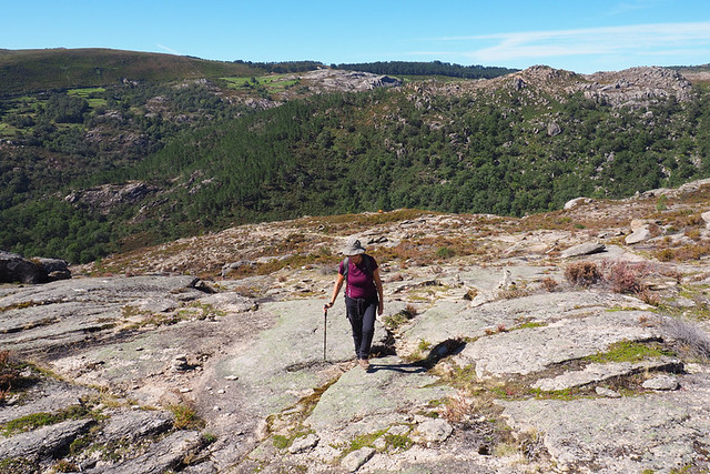
Peneda-Geres is a walker’s walking area; untamed, beautiful and wildly rugged. In some ways it reminds me of hiking in the western Canary Islands – there’s a lot of hoofing it up and down steep hills to cross from one valley to the next. It’s exhilarating terrain and an exceptional walking location, but a hard one for anyone who isn’t an experienced hiker. Although the Tripadvisor poster enjoyed their visit, they were out of their depth when it came to hiking in those northern Portuguese hills. I think they chose the wrong place for them.
So what are the potential tripping points anyone still in the early stages of notching up walking routes should consider before deciding where to hike in foreign pastures?

Maps
Maps are a great help… if the person using them knows how to read them. Even vague ones hold the key to helping unlock routes and showing how the land lies. But there’s no point in anyone carrying a detailed map, let alone a ‘vague’ one, if they can’t understand it. Map-reading skills are a must when it comes to tackling ‘untamed’ walking areas. If maps aren’t an automatic part of a walker’s ammunition, it’s safer to stick with less challenging locations until they are.
Terrain
Consider what the terrain might be like. Thanks to the range of available online tools, we have a good idea what sort of landscapes we’ll be facing before we arrive at a walking destination. Google Earth is our go-to tool; its 3D images bring home the reality of landscapes. The likes of Wikiloc should be used with caution; just because a route is published on the site doesn’t make it a good route. But what Wikiloc can help reveal is what routes in any given area might be like. Graphs illustrate how steep routes are, or aren’t and each has a difficulty level; although, I’d be wary of those as users’ ratings can be extremely subjective.

Walking signposts
It’s not a given that well known hiking destinations have robust infrastructures as far as walking routes are concerned. Some countries invest in maintaining walking trails, others don’t. Subsequently there aren’t always helpful signposts. In some areas the terrain might not be challenging, but way-finding can require honed navigational skills; places like Arrabida Natural Park in Portugal where myriad paths criss-cross each other, nearly all without any walking signposts. Some lead to private roads, some to dead ends with fences blocking what were once well trodden paths. These sort of walking areas are fraught with problems for inexperienced hikers. It’s worth researching just how good the walking infrastructure is in any location.

Waymarks
Even when there are no walking signposts there are often waymarks – symbols painted on rocks, trees etc. which show hikers they’re on the right track. What these symbols are can vary from location to location. Many routes we walked in Peneda-Geres had plenty of waymarks, some even had signposts, yet the Tripadvisor commenter still struggled, a clear indicator they weren’t an experienced walker. There is a knack when it comes to following routes which only have waymarks. We get a kick out of joining the dots on these types of trails, searching for the next sign we’re still on the right path. However, some walkers, even quite experienced ones, can encounter problems following routes when there are just waymarks to show the way.

The trouble is you don’t know exactly what you’re going to find until you’ve laced up the boots and taken to the trail. It takes a lot of research to have at least an idea, and that involves knowing where to look to find out information. We invest an awful lot of time in the planning stages before we ever set foot in a location. I believe there’s a risk when anyone rolls up to a place and heads into the hills without having done in-depth research first.
The person who published the post on Tripadvisor enjoyed their time in Peneda-Geres. But from their words I could tell they only experienced the tiniest fraction of what the area has to offer.
My advice to any inexperienced hiker would be to start out by sticking to areas where paths are well marked and terrain isn’t challenging or, alternatively, walking with a guide, having a specialist guidebook to hand, or booking specialist walking holidays rather than try DIY.


Be the first to comment