“Do I take the next right or is it the one after that?”
“I don’t know.”
“You’ve got a map.”
“But I don’t know where we are.”
“That’s why you have the map. To tell you where we are,” my voice rose a couple of octaves as the first road turning whizzed past the car.
“It’s no use if I don’t know where we are in the first place.”
“That’s the point of the map, it shows you where you are.”
“But I’d have to know where we actually are for me to know where we are on the map.”
And so the conversation continued, leading to infinity and beyond.
That was many, many years ago in a land far away. It was the catalyst for two changes. Now when we venture to pastures new Andy drives and I navigate. And I showed Andy how to read maps.

It’s funny that something I learnt at an early age – how to direct artillery fire onto an enemy position with pinpoint accuracy – could become an essential part of my working life decades later. Maybe not so much the directing artillery fire part (never actually applied in real life) but the ability to read maps.
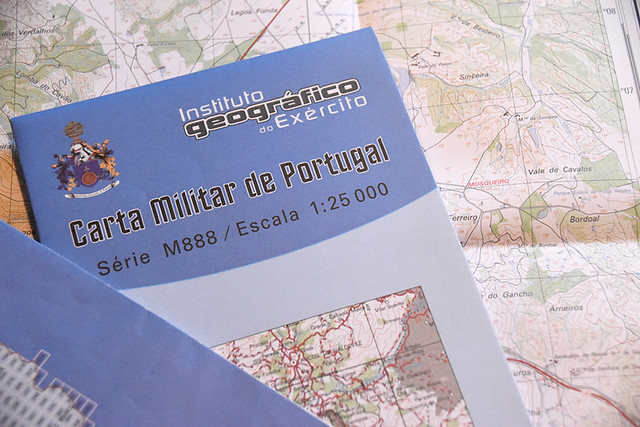
Times and available technology have changed massively since I used a map, compass, thread and pins to work out routes and distances to accurately lead me to meeting points with my compadres. But the other day, with paths through the forest hiding from Google’s not quite so all seeing eye and unexpected new fences blocking off age-old paths, I was back to resorting to kneeling on a hillside deciphering contours and various hieroglyphics on a spread-out military map (the only maps available). Frustration at routes being blocked soon turned to the thrill of route-finding the pure old way and exhilaration when the pieces of the jigsaw finally slipped neatly into place.
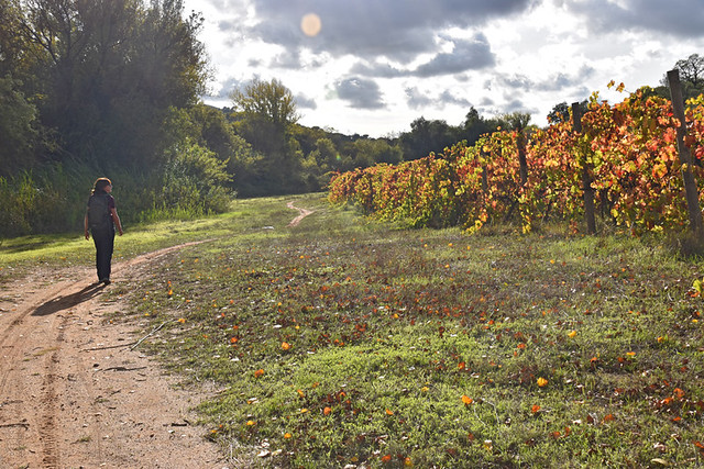
There are ups and downs regarding walking routes where we are in Portugal. The authorities have only, so far, paid lip service to maintaining walking routes. In some places information boards suggest there were once some routes, as do official websites. In reality there are very few waymarks and even fewer signposts. Using paths taken from the internet is problematic as many we’ve tried to follow simply no longer exist. Locals might know whose property they can clamber over, but visitors don’t. The downside is obvious, the upside is a network of potential paths which aren’t really on anyone’s radar. There’s a feeling of discovery (appropriately enough given the country we’re in) piecing together sections of unmarked paths to create something complete and new. Whilst in some areas having a map is more of a safety net, here it has been a necessity. But a map is no good if you don’t know how to use it.
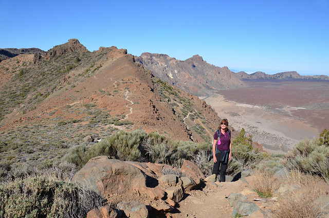
When we lived in the Canary Islands we found many walking routes to be relatively well marked. That’s not to say if you set off on a path without map or directions you’ll successfully find your way from A to B without ending up at Z by mistake. And whilst Spain has its own detailed military maps, in popular tourist areas such as the Canaries there are bespoke walking maps available to buy, with highlighted routes clearly taking centre stage. They’re not always 100% accurate (nature and the authorities have an annoying habit of throwing the odd spanner into the works every now and again) but they do the job. In some ways these bespoke maps are like an abridged version of a real map. You don’t really need in-depth map reading skills to be able to use them – basic is enough – especially when combined with written directions. Nevertheless I’m still gobsmacked when someone struggles to find their way into somewhere like Teide National Park (see opening dialogue – “but you’ve got a map!”).
Anyone who struggles with reading these types of maps might view Portugal’s military maps as documents which require the Enigma machine in order to decipher them. Andy, as still a relatively novice military map decoder, acts as a reality check to my less tolerant approach when I read about people going wrong on walking routes. “The map shows a river directly to the south and a road directly to the north, they’ve come from the east, there’s only one direction they can go. So how can they manage to get it wrong?”
But I’m like that with directions generally. There’s an inbuilt compass. It sometimes goes haywire, but is mostly pretty reliable. Subsequently I don’t understand how people don’t know (see) factors like these or don’t, more importantly, automatically know where they are in relation to the countryside, or are unable to figure out, even roughly, their position on a map. Maybe that’s because it was hammered into my brain at such an early age. Andy adds the more reasoned (reasonable) ingredients to the route-finding equation.
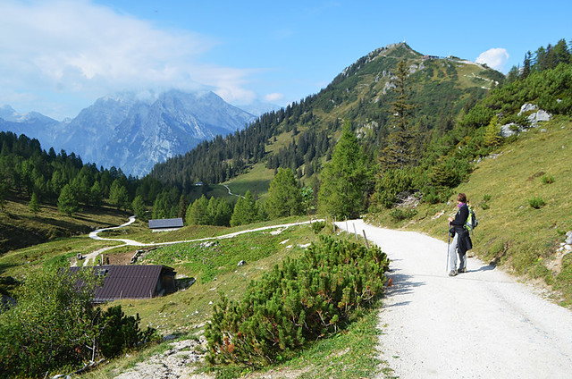
In some destinations walking routes have been developed to the point the actual work required by walkers themselves to find their way has been reduced to a minimum. This is no bad thing, it makes walking more accessible to a wider audience. But it can lead to a dilution of the sort of skills that were once required if you wanted to successfully navigate hill and dale without getting lost in the wilds.
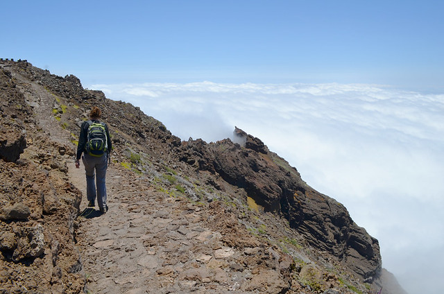
More and more people are taking to the hills, but newbie walkers are tending to rely on mobile phones rather than the ‘old ways’. Mountain rescue organisations in the UK are reporting a noticeable increase in call-outs from people who are lost, with their own research showing only a third of younger walkers taking a map with them when they headed into the great outdoors. Mobile phones and apps are a wonderful addition to the world of walking, but they shouldn’t be seen as a replacement for having a map.
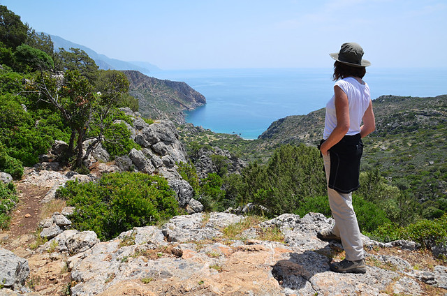
From a personal point of view, I’m glad there are still plenty of places where it’s essential to plonk yourself down on a hillside to scour intricately detailed maps in order to unlock the way forward. It is immensely satisfying.


Love it – great article thanks, Jack! Good to hear Andy’s map-reading skills are coming along nicely (probably better than mine, in fairness 🙂
Cheers Steve 🙂
In a GPS world, where synthesized voices tell us when to turn to get from point A to point B, do kids really need to learn how to read a map?
Those synthesized voices tend to go a bit silent in the wild, so as long as they stay urban they’ll be fine 🙂 Anyone who ventures into the great outdoors on the other hand…
We always carry Garmins and smart phones, in the end they’re just tools like any other tools.