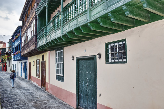
We’ve spent a day wandering the historic streets of Santa Cruz, driven to Fuencaliente at the island’s southern tip, walked around the San Antonio Volcano, climbed into the pine forest above the west coast, and are now heading north on foot, making adjustments to a walking holiday we helped create. So far, La Isla Bonita looks exactly like it did the last time we visited in 2019. It’s a relief to find that La Palma after the volcanic eruption of 2021 looks exactly like the La Palma we’ve held a great fondness for since we first visited in 2004.

Of course there’s evidence of volcanic activity, the southern tip is a volcanologist’s theme park. We used to describe walking there as standing on land that was younger than we were. But, just like us, the rugged, burnt terrain around Las Salinas no longer feels quite so youthful. Especially as there is a new kid on the cinder block.
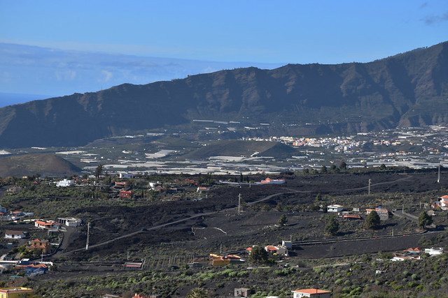
As we venture further north, there are further glimpses of the earth’s violent regurgitation. Black fans spread out like a bride of Satan’s train across the green slopes of the ‘beautiful island.’ But whether they are from the most recent eruption or from previous ones, it is difficult to tell. We’ve crossed lava fields on La Palma’s western slopes many times, using volcanic tubes to manoeuvre through Las Coladas de San Juan. These existed long before the 2021 eruption, even lending their existence to the name of the village we’re heading for, Las Manchas (the stains).

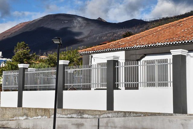
It is all so normal, not what we expected, and it’s a relief to see that most of the island has escaped the volcanic apocalypse shown in news footage. And then, after 18 kilometres, we round a hillside to arrive in Las Manchas to find a moody, russet mountain looming over the centre of the village.
“That wasn’t there before,” I say to Andy.

2021 Volcanic eruption on La Palma
At around 14:10 on 19 September 2021, La Palma erupted, or the area of Cabeza de Vaca below Cumbre Vieja did. For the following 85 days, volcanic devastation ensued. Lava spewed over 1000 hectares, destroying 1345 homes, and displacing around 7,000 people (local sources claim it is far higher). Nine percent of La Palma’s population had to flee their homes, some losing everything. A year and a half later, many are still living in temporary accommodation … still waiting for the appropriate financial support from their government.
Jonas, a guide we’ve known for over a decade, explains why this eruption was so different from when Teneguía exploded above the southern tip in 1971. “People treated that one like a spectacle. Families took picnics and sat on the hills to watch it.”
There were no houses or people in Teneguía’s path.

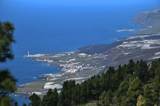
It’s a shock to discover the immediate impact spread beyond the destructive reach of molten lava. From a distance, the resort of Puerto Naos looks like it was lucky; the lava didn’t quite reach it. Yet it is a ghost town, a potential death trap; its houses shielding an invisible killer, toxic gas. A year and a half after the eruption and its residents are unable to return home.
The road across the lava
La Palma’s world changes at Las Manchas. As well as the new ‘mountain’, the Volcán de Tajogaite (a name voted for by the islanders), there are smaller hills of ash, glistening in the sunshine as JCBs attempt to shovel them into some sense of order. The road we used to travel to reach Los Llanos de Aridane is gone. From our position outside Bar El Americano we can see its replacement below, a narrow charcoal strip dissecting the three-and-a-half-kilometre wide band of volcanic badlands.

From a distance it looks much like any new road, but as we drive onto it, it’s clear it is anything but. Despite newly planted palm trees bringing a touch of subtropical normality to the scene, the sense of entering a disaster area hangs heavy in the sulphuric air. Triangular yellow signs warn drivers they’re in a ‘zona caliente’ – hot zone. Other signs instruct us not to stop, to keep driving, which we do … silently, except for the occasional, hushed ‘my god’ when we pass houses with lava spewing from doors and windows. Imposing its presence, Tajogaite does a passable impression of Tolkien’s Mordor in the background, reminding everyone who is responsible for this devastation.

The most profound sight comes just as we reach the end of the ‘hot zone’ at the barrio of La Laguna, where buildings with collapsed roofs and gabled ends ripped away, leaving interiors exposed, look like they are in a war zone. At one end of a two-storey block, where the makeshift road ends, lava has spewed through the lower floors, filling rooms with a basaltic deposit. A few meters away is a café where locals sit on the pavement drinking café con leche as if they might be enjoying their morning coffee in a town’s tranquil plaza.
It is an incongruous scene. And set against such a violently destructive background, it feels like it’s a symbol of the determination to prevail in the face of adversity.
After the sobering impact of the terrain we’ve driven through, this snapshot of normality in such an unusual setting is surprisingly uplifting.


Be the first to comment