“I don’t want to read flowery descriptions,” the man smiled, but not really in a friendly way. More in a Wormtongue manner. “I just want walking directions that will tell me how to get from point A to point B.”
“In that case, you probably wouldn’t like what we write,” I smiled back, wishing dinner was over so I could escape.
I like staying in small, rural hotels. But those which involve a shared dinner table can be somewhat of a lottery. Thanks to the laws of average relating to what sort of traveller stays in such places, mostly we find ourselves dining with like-minded people from various countries. Very occasionally there can be a jarring mismatch.
The man had asked us what we did for a living. When we told him, and mentioned we wrote walking route directions, he used it as an opportunity to tell us how to do it right; i.e. how he’d do it.
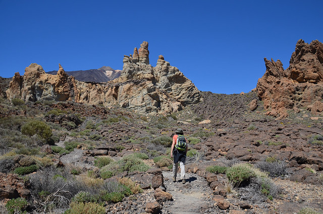
I listened patiently, thinking to myself that a) not only would his directions run to a War and Peace sized tome but b) they wouldn’t include any localised information at all. There would be no quirky snippets, or insights into life in the area they covered. They would be walking route directions which would have me in a snooze before the end of the first bulletpoint.
We’re just not those sort of walkers. I want to learn about the areas I explore on two feet. The walking directions we enjoyed using the most during weekend walks in Britain were the AA’s Secret Britain. There were no detailed maps, just sketches. Directions relied on descriptors rather than formulas and figures. We were able to follow them easily and they were packed with juicy snippets.

We don’t dither, but neither do we stride along at pace. We automatically scan the terrain as we walk, registering anything that stands out – taking notes of flowers, rock formations, man-made objects that give an insight into the past and present life in any given area. We stop regularly to absorb views, or crouch down to ponder the creator of tracks across the path. Often we stand silently, listening to birdsong; and we turn our eyes skyward whenever a winged shadow crosses the trail. We’re no twitchers, but we enjoy trying to identify the differing feathered friends we encounter in various destinations. Anything that interests us makes it into our walking directions.
There was another important factor our dinner companion didn’t take into account. What he considered to be the ‘right way’ to write walking route directions were ones which were specifically written to suit his preferences. I’m not sure I’d be able to follow the way he wanted his route directions written as his methods seemed incredibly complicated – “turn 45 degrees SSE and then, after 10m, immediately 65 degrees NNW on arriving at the spur running E to W which you reach 150m after crossing the drainage basin flanked by Quercus ilex…”

In previous careers we were both trained in a range of managerial techniques, including person-management. Andy was also a staff trainer for a period of time. One of the things we were taught was something any good teacher, or staff manager, will already know. People have differing learning methods. When dealing with a small team you can mould how information is presented to suit. When it involves bigger groups that’s simply not practical. So you have to seek a middle ground which is accessible to as many people as possible. But you can’t, as the old saying goes, please all of the people all of the time.
The same applies to interpreting and following walking directions. Use too many technical terms and there’s a danger of confusing some people, whereas others prefer lots of figures and technical specifications. However, not everyone who enjoys walking in the countryside can read a map, use a compass, or is au fait with specialist terms. It’s horses for courses.
There’s a given that directions should be as accurate as possible no matter what anyone’s style preference is. But there’s also a fair amount of wiggle room. For example, when I’m following someone else’s route directions I enjoy feeling as though I’ve some involvement in the process; that I’m able to utilise my ‘tracking’ skills and walking experience to confirm I’m on the right track. I’m not talking about key junctions where there’s no signpost and directions need to be crystal clear. I’m referring more to situations where walkers need to be able to read the terrain – when paths cross rocky areas, travel through forests where nature is constantly changing how the path looks, or across grassy meadows where sheep, goats, cows etc. have created their own trails. I want the directions to act as a safety net of course, and keep me from straying from the path, but none are foolproof.
No directions however detailed they are can keep users precisely on the ‘right path’ under the sort of circumstances mentioned above. Having a GPS track can show users where the path should be (up to a point), but if it’s no longer there, then the application of initiative is required. Personally, I relish these moments.
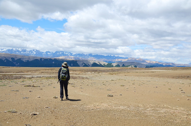
I have concerns regarding over reliance on any walking tools; be those directions, maps, or GPS devices. I have concerns for a number of reasons. One is that both nature and humans are constantly messing around with the terrain. A riverbed can be dry for 360 days and a raging torrent for the other 5. A farmer can extend his vines the weekend after a route has been checked, blocking a path that has existed for years. Authorities can change signposts any time, replacing current ones with ones which don’t match.
Experienced walkers can interpret such signs – fresh piles of earth across the path, brand spanking new signposts not mentioned in notes, terrain damaged/eroded by rain – and adapt accordingly. It’s rare that sections of path which have been tampered with last for long stretches, and minor changes don’t fundamentally affect routes unless making them impassable. In situations like these we usually can pick up the path again before too long and without any fuss.
Route directions which work best for us are those which:
a) Contain accurate and useful technical information (distances, levels of ascent/descent etc.) but not to the point these dominate.
b) Are user friendly and accessible to a wide base so people who don’t have map reading skills can use and enjoy them as well as those who do posses those skills.
c) Include reams of interesting information which add context to the landscapes we walk through.
Subsequently walkers who prefer more technical info – lots of GPS references etc. – rather than descriptors aren’t necessarily going to like the walking routes we produce. I get that.
As I was thinking how to bring this to an end an email popped into my inbox from someone who had used our Tenerife walking routes. The author had a couple of suggestions for amendments to one route; good suggestions which we’ve implemented. They also added they “would certainly use your guides again”. But the real ‘thumbs up’ was this – “The download is incredibly good value for 9 Euros, you should be charging more for it…”
We’ve never been in the business of trying to please everyone, just those who have similar travel preferences – whether we call that ‘slow travel’ or something else. The greatest feeling of satisfaction, of having achieved our objective, is when we know like-minded people enjoy what we produce.


Be the first to comment